Over the past three days, Southern California has been grappling with the aftermath of an atmospheric river event, leading to widespread flooding across the region. The atmospheric river brought heavy rainfall, triggering flash floods and inundating several areas. Emergency response teams have been working tirelessly to evacuate residents from affected areas and provide relief efforts. The flooding has resulted in road closures, property damage, and disruptions to daily life.

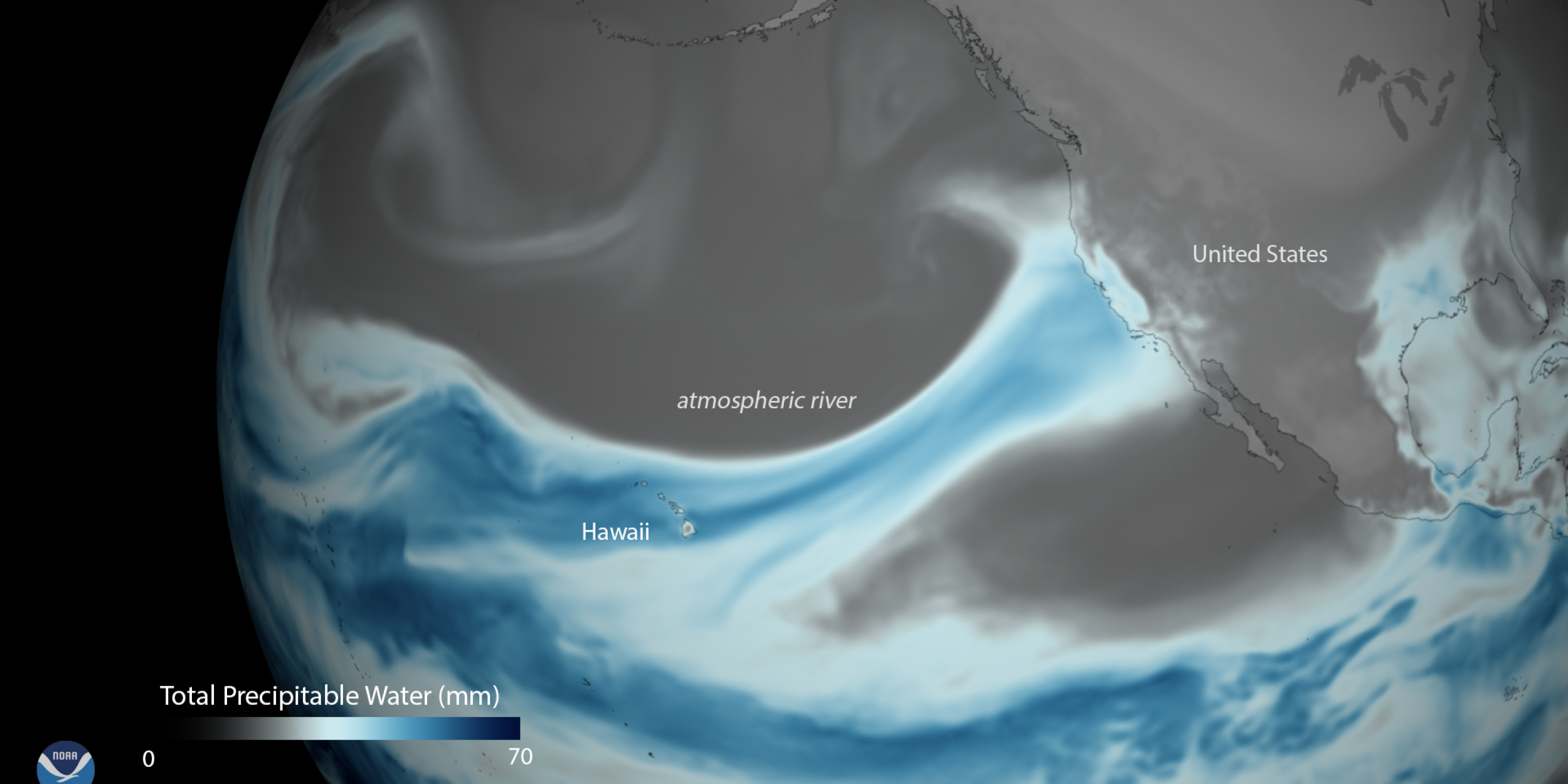
An atmospheric river is a narrow corridor or filament of concentrated moisture in the atmosphere. (Image by NOAA)
Atmospheric River to River of Debris
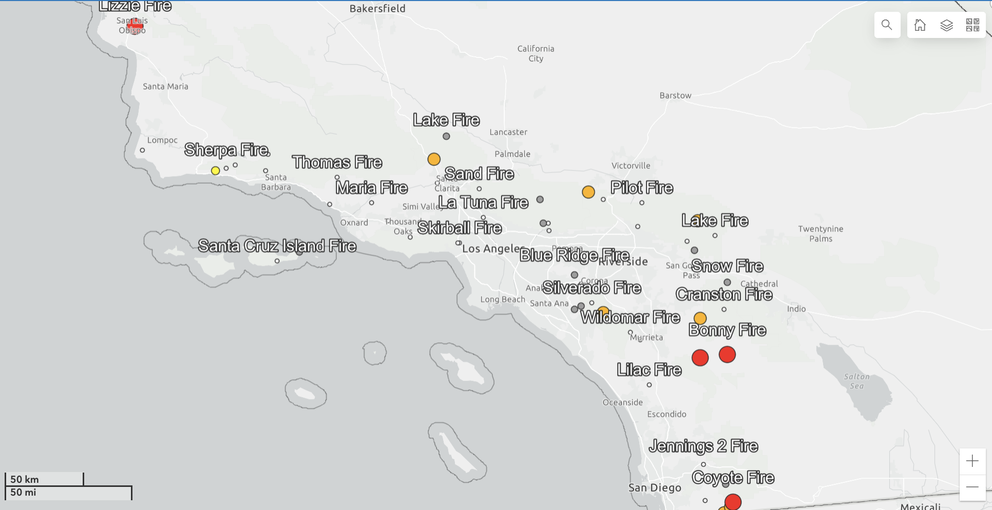
In some areas, rainfall totals have exceeded several inches, leading to localized flooding, mudslides, and road closures. Heavily populated and hilly areas of Los Angeles were hardest hit. Woodland Hills, Bel Air, and the Sepulveda Canyon all received over 11 inches of rain since the storm began. Downtown L.A. even saw more than 7 inches. With the rain continuing to fall again today, concerns continue over potential debris flows in areas recently affected by wildfires across the region. The USGS monitors recent fires for that reason (see map below). Due to the record amount of precipitation, local authorities have been closely monitoring each area you see, prompting evacuation orders as necessary to ensure public safety.
What is an Atmospheric River?
Sounding like something out of a science fiction novel about time travel, an atmospheric river is a narrow corridor or filament of concentrated moisture in the atmosphere. When these “rivers in the sky” make landfall, they often release this water vapor in the form of heavy rain or snow. The most common of such meteorological phenomena is a Pineapple Express, the name given to the warm water vapor plumes that originate over Hawaii and follow the jet stream northeast toward California. Many of California’s major flooding events have historically been a product of an atmospheric river.


3 Comments