Sherpa Fire Summary
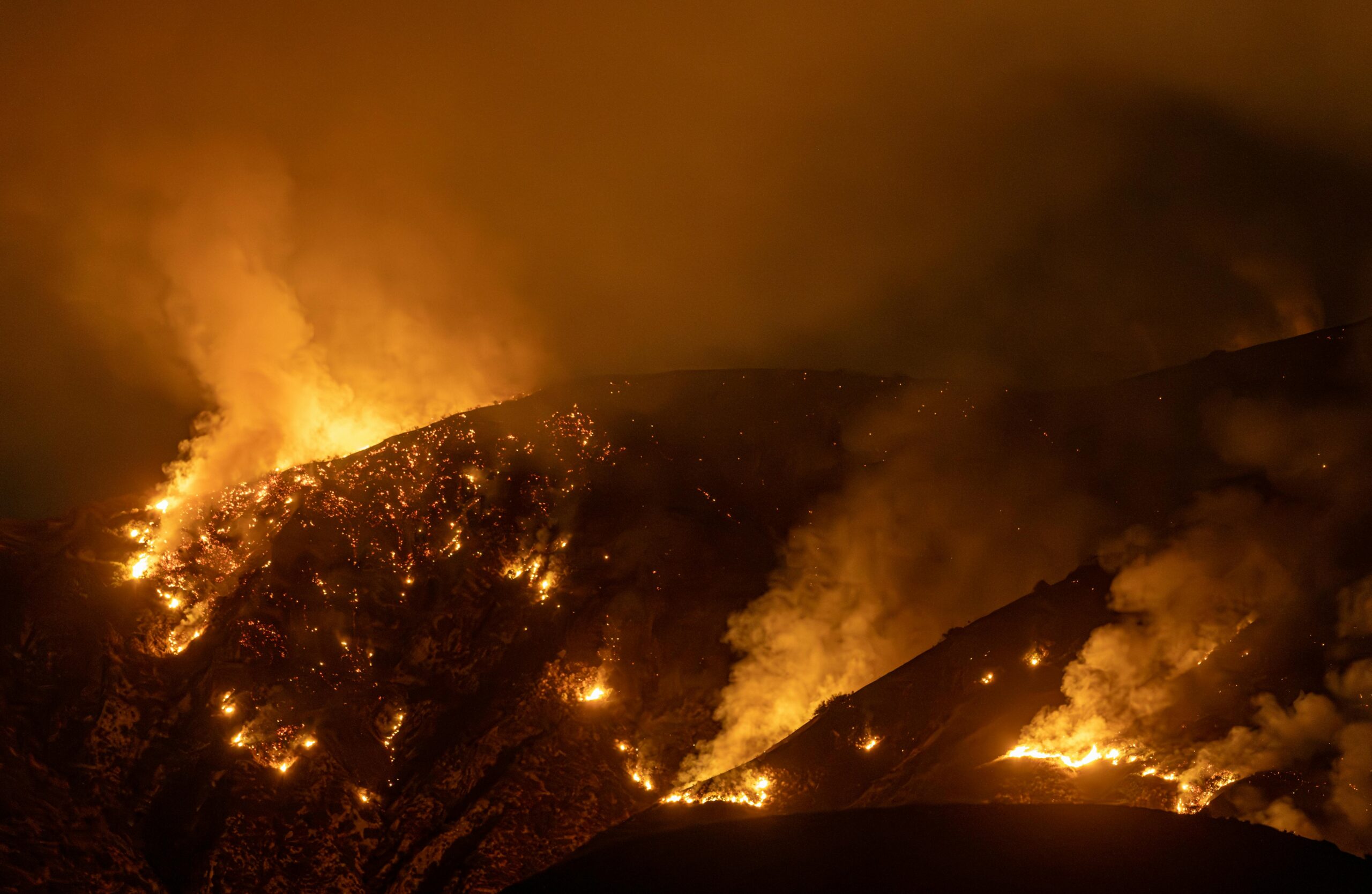
The Sherpa fire started Wednesday afternoon in a remote area of the Los Padres National Forest (LPF), directly west of Santa Barbara, California. It quickly grew in size with the classic sundowner winds which that area sees frequently. Evacuation warnings were sent out immediately along with reverse 911 calls to nearby residents due to that area’s potential for rapid fire growth. In the days since ignition, the fire has grown from 50 acres to over 5800 acres, according to this morning’s infrared flight data (seen map below).Much of the area remains under mandatory evacuations.
Sherpa Fire Outlook
A type-2 team took over command of the fire as of this morning’s (6/17) briefing where future plans and expected fire behavior were discussed. The Sherpa Fire has exhibited extreme fire behavior, including long-range spotting and downhill runs each of the last two evening and overnight burn periods. These gusty, sundowner periods (5:00pm and after) are expected every afternoon/evening through the weekend, worrying fire officials. Last night’s activity actually pushed the active fire across Hwy 101 and forced closures of the thoroughfare for the second straight night. Heavy fuels east of the current burn area and rising temperatures associated with an incoming high pressure system this weekend likely mean the firefight is far from over.
Sherpa Fire Facts:
- Location: Los Padres National Forest, CA
- Size: 5,866 acres
- Containment: 20%
- Fire Behavior: Rapid fire spread through tall grass and brush.
- Structures Threatened: 270 (reported)
- Structures Destroyed: Unknown number at Refugio Water Treatment Plant
- Incident Page: http://inciweb.nwcg.gov/incident/4786/
- Evacuation Information: Santa Barbara County Emergency Services
Map: Sherpa fire perimeter and estimated evacuation zones (as of 6/17, 1700 hrs).
NOTE:
Fire perimeter was provided by NIFC from an overnight IR flight.
Evacuation areas are estimated from written descriptions provided by Santa Barbara County Emergency Services.


