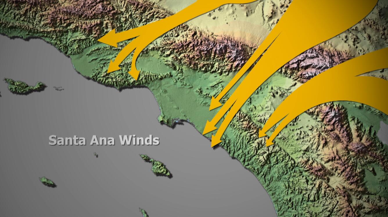
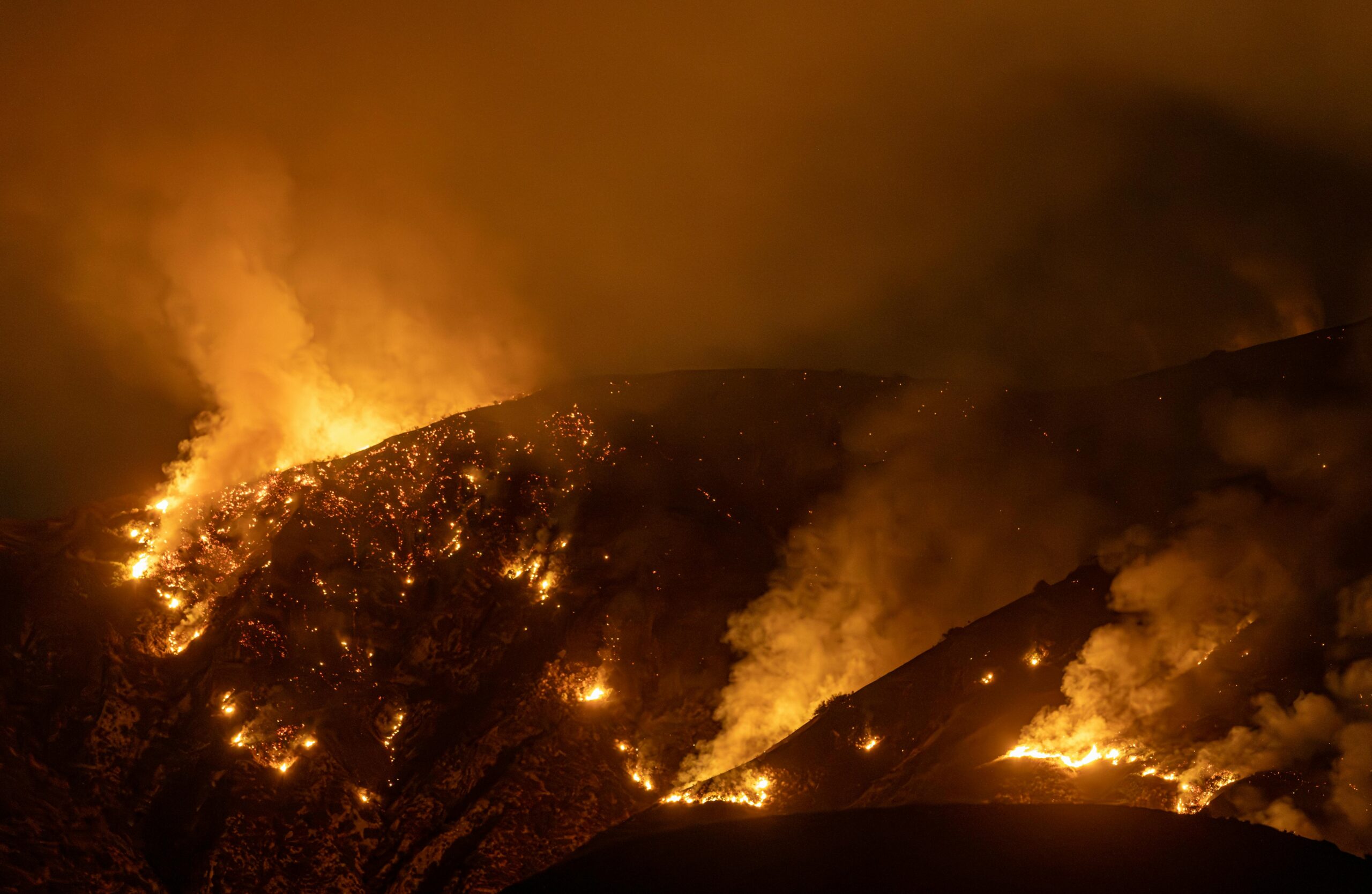
Quite opposite of the east coast, unseasonable warm weather is impacting California, making it one of the hottest places in the country this week. The heat comes during a span of Santa Ana winds over the past few weeks. This offshore flow is further driving a drying trend for the state ahead of a likely busy fire season.
High pressure is sitting over the state resulting in higher temperatures. Anaheim, California experienced a record high temperature on Sunday for the day at 85 degrees. Further warming will occur later this week with an excessive heat warning in place tomorrow through Friday. Normal high temperatures are about 15-20 degrees below the current forecast of temperatures in the upper 80s and 90s.
In addition to the heat, Santa Ana winds have dominated throughout the state the past few weeks. Offshore winds will persist through at least early next week. The strongest winds will occur in the Santa Monica Mountains and other mountain ranges in Los Angeles County, with gusts over 60 mph at times. Strong winds have continuously impacted the state with wind advisories for numerous regions both in Southern and Northern California. There were reports of downed trees but luckily no major wildfire concerns.

Winds are also causing significant drying across the state. In Northern California, some indices approached record dry values for early to mid-February. Although December’s precipitation improved wildfire conditions and fuel moisture, there is still the potential for wildfires under the forecast warm, dry, and windy conditions this week. Most areas will not see relief over the next forecast period.
Outlook
According to the National Interagency Fire Center, fire potential remains normal for the state of California over the next few months. Nevertheless, 90% of the West remains under moderate to extreme drought, adding to potential fire concerns. Fire agencies will keep their heads on a swivel the next week or so under the expected elevated fire weather.


