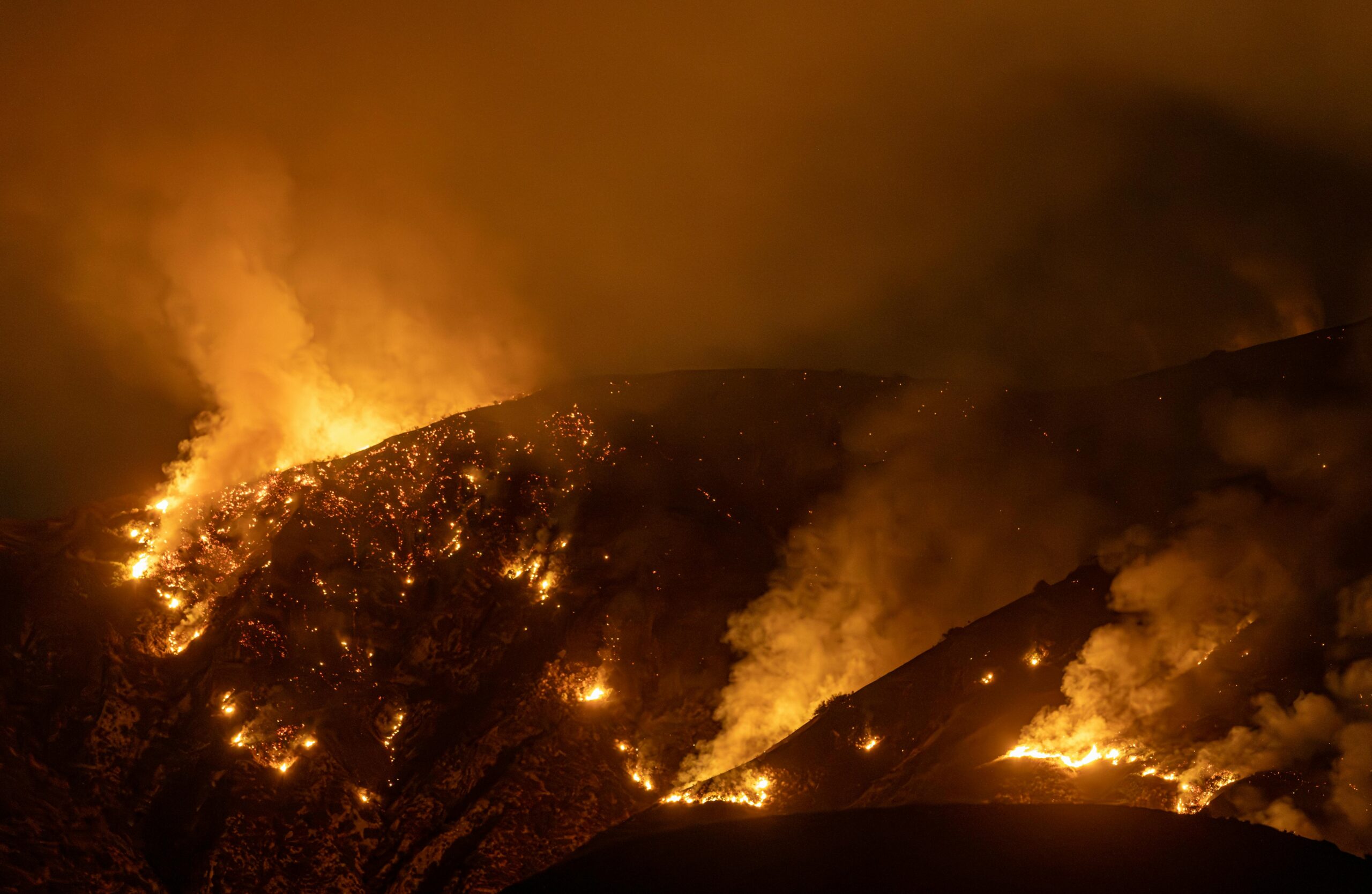
Hurricane Iota tumbled into Central America late last night, where countries are still recovering from Hurricane Eta. The storm made landfall as a Category 4 Hurricane, near the town of Haulover, Nicaragua. This is just a mere 15 miles from Puerto Cabezas, Nicaragua where slightly less powerful Eta made landfall on November 3rd. However, Hurricane Iota impacts will likely be much stronger. The storm’s maximum winds were just 2 mph shy of Category 5 at 155 mph at landfall.
This is the first time two major hurricanes have made landfalls in Nicaragua in the same season. Hurricane Eta unfortunately claimed 130 lives with more missing and thousands displaced. The storm hovered for days over Nicaragua, Honduras, and Guatemala allowing flooding and landslides to wipe out communities. While Iota significantly weakened as it made landfall, it is likely to exacerbate impacts within the same communities.

Accuweather Tracking of Hurricanes Iota and Eta, making landfall in the same region.
Iota Impacts and Track
Low-lying coastal areas of Nicaragua and Honduras evacuated where storm surge could approach 20 feet. Before reaching Nicaragua, the storm impacted the Colombian Islands of San Andres and Providencia as a local record Category 5 storm. Colombian President Duque noted at least one person died, and 90% of the island’s infrastructure was affected. The local airport was unusable due to debris.
Central America to the Yucatan Peninsula, as far east as Jamaica, and as far south as Colombia will feel the storm swells. Honduras, Nicaragua, Guatemala, and Belize can expect heavy rainfall with at least 10 inches and up to 30 inches of rain through Thursday.
The storm will continue inland through Nicaragua this morning and afternoon, before moving into southern Honduras this evening. Hurricane Iota should continue to weaken and dissipate near El Salvador by Wednesday night, according to the National Hurricane Center.
Sources: AccuWeather, CNN, Weather Channel, National Hurricane Center


One Comment